 SAN
DIEGO, Calif.—After studying a book that I shall be helping to teach in
History 110 this coming semester—Transforming America: Politics and
Cuture During the Reagan Years by Robert M. Collins, I rewarded myself
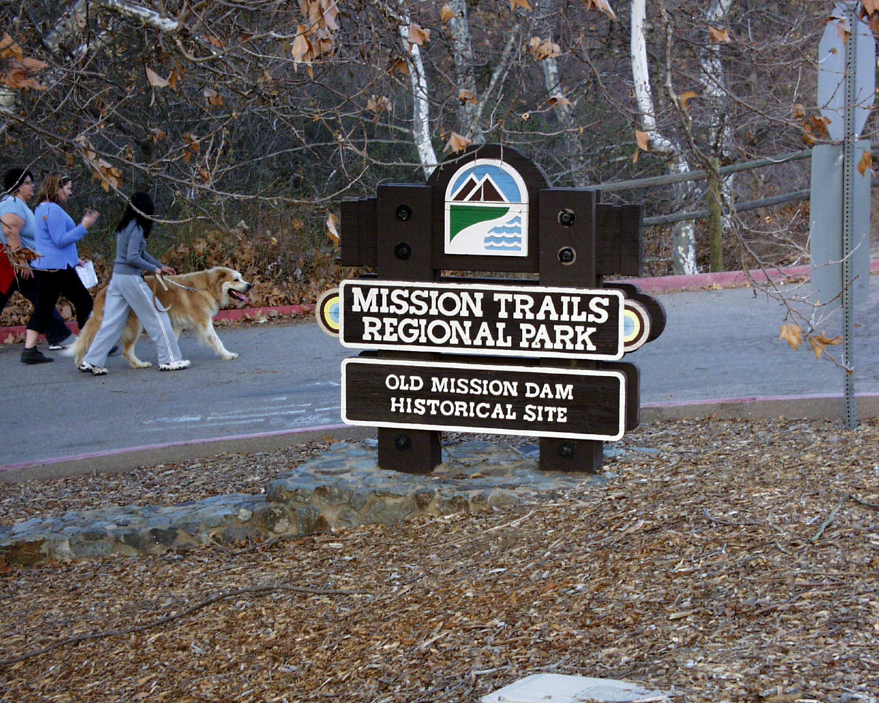
with a walk through Mission Trails Regional Park, starting from the entry
point off Mission Gorge Road across the street from our back yard and working
my way the old Mission Dam and beyond, where Nancy came to pick me up.
SAN
DIEGO, Calif.—After studying a book that I shall be helping to teach in
History 110 this coming semester—Transforming America: Politics and
Cuture During the Reagan Years by Robert M. Collins, I rewarded myself
with a walk through Mission Trails Regional Park, starting from the entry
point off Mission Gorge Road across the street from our back yard and working
my way the old Mission Dam and beyond, where Nancy came to pick me up.
I found myself taken with rock formations, various signs (including some that
I purposefully misinterpreted), some last vestiges of plant color in the
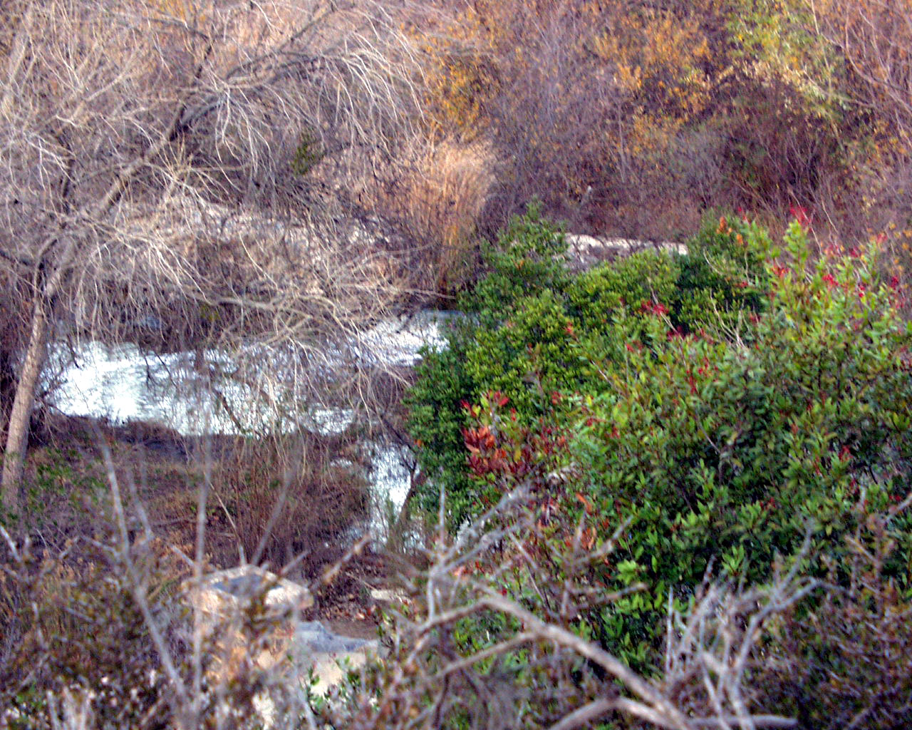
winter, and, of course, flashes of the San Diego River as seen from the
Junipero Serra trail.
All and all, quite an enjoyable walk.
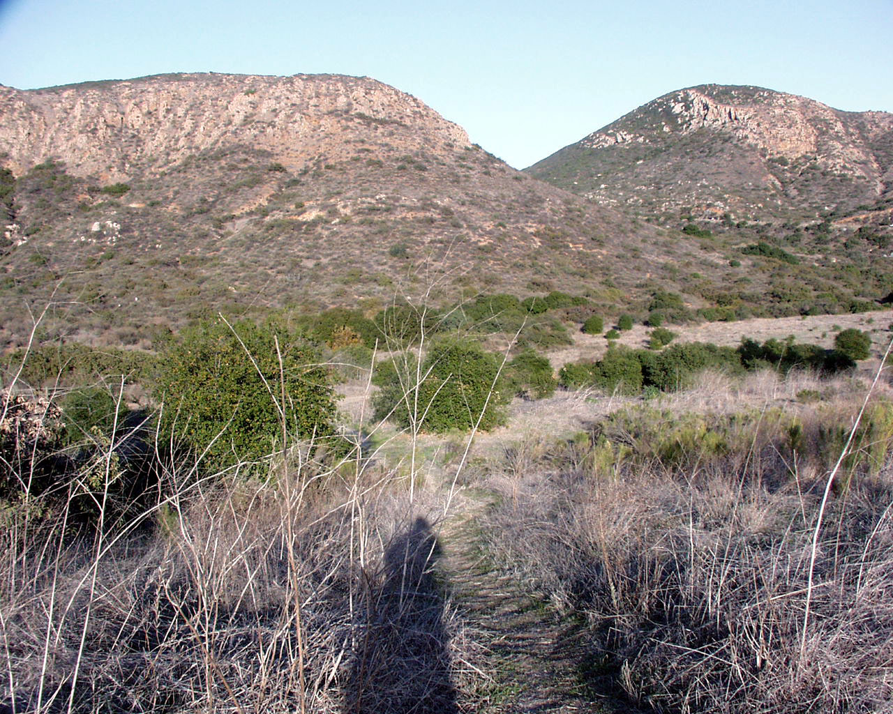
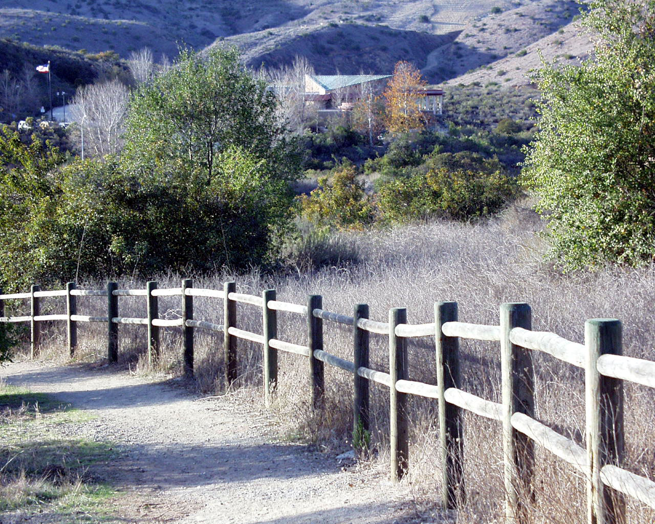
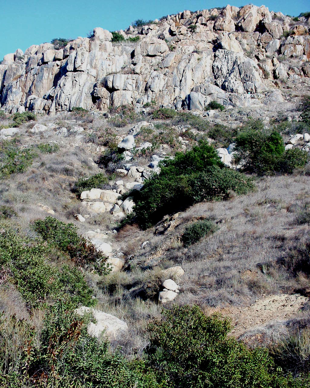
Top Row: The starting point from across the street from our
backyard; the pathway leading to Father
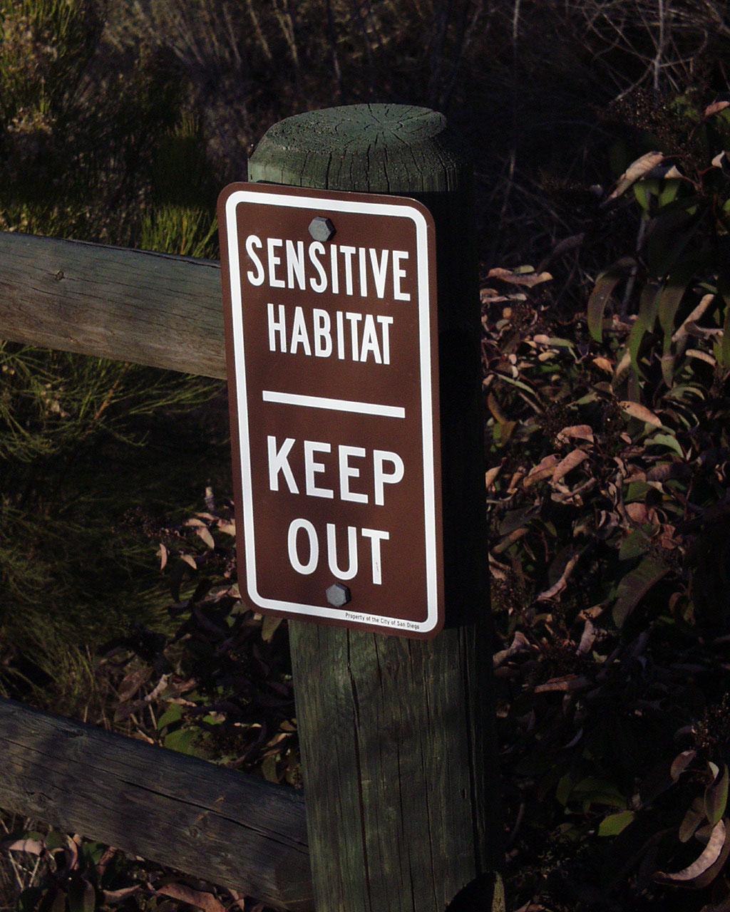
Junipero Serra Trail. Bottom: If this message is addressed to the
"sensitive habitat," won't it hurt
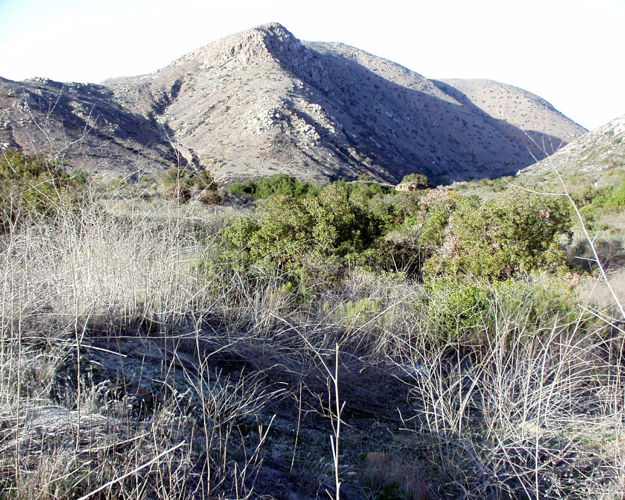
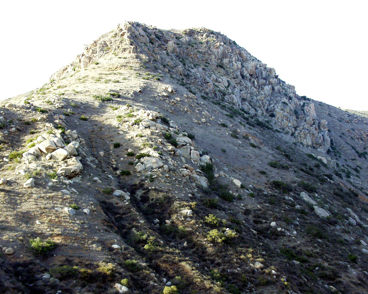
their feelings? A scene of scrubland and a small mountain, or a large
hill.
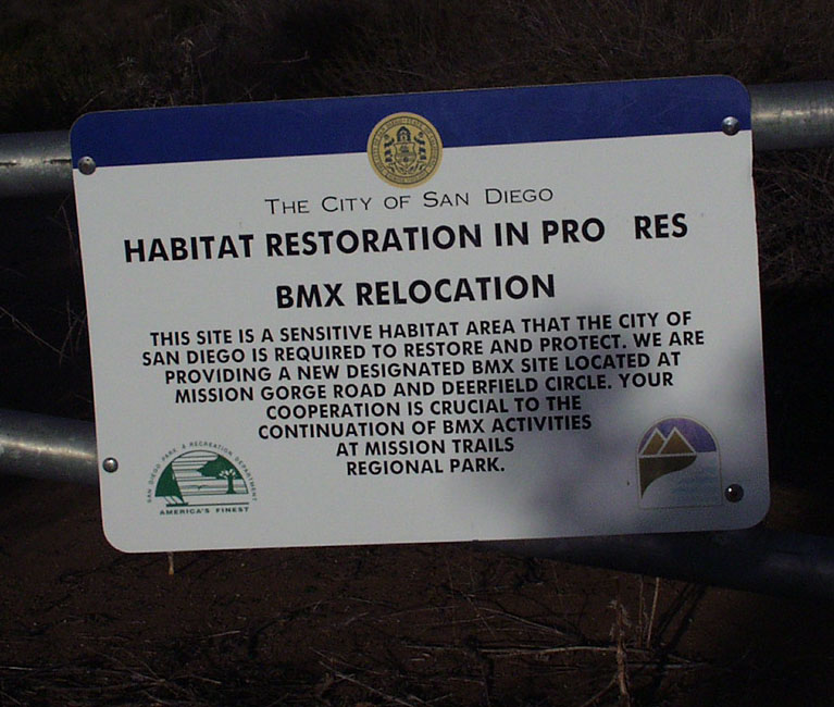
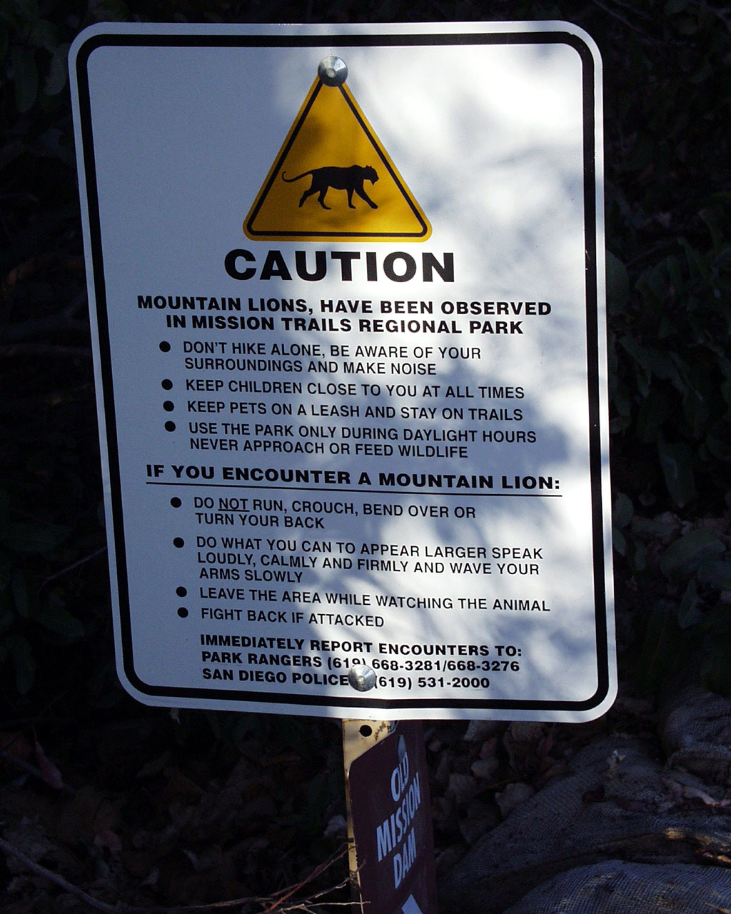
SURELY JUST A COINCIDENCE?—These two signs are juxtaposed, one telling of a
BMX relocation
(whatever that may be) and the second telling that mountain lions have been
spotted in the area. Is that
why they are relocating the BMX? It might be why I would want to relocate—in
a hurry!
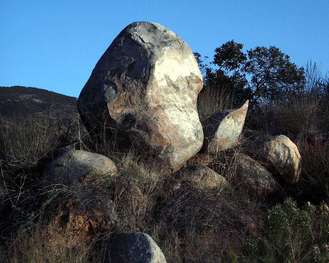
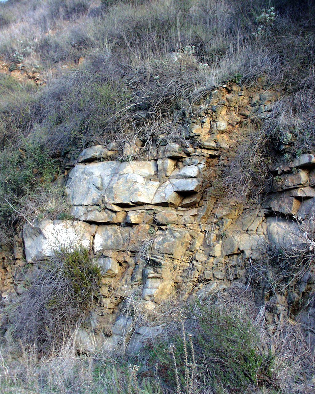
Using the imagination--top left photo appears to be a whale surfacing; whereas
the top right could be a
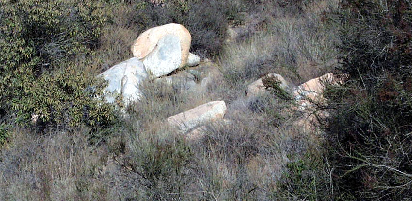
snake sunning itself on a rock. Bottom left is just a mountain, but
bottom right could be a sleeping ram.
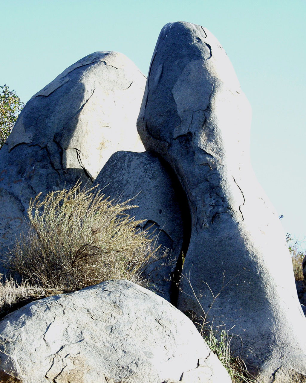
Top left — A scene that appears like a shepherd's camp (middle foreground),
and isn't that Moses bringing
the tablets down from Mount Sinai in the top right picture. Bottom left
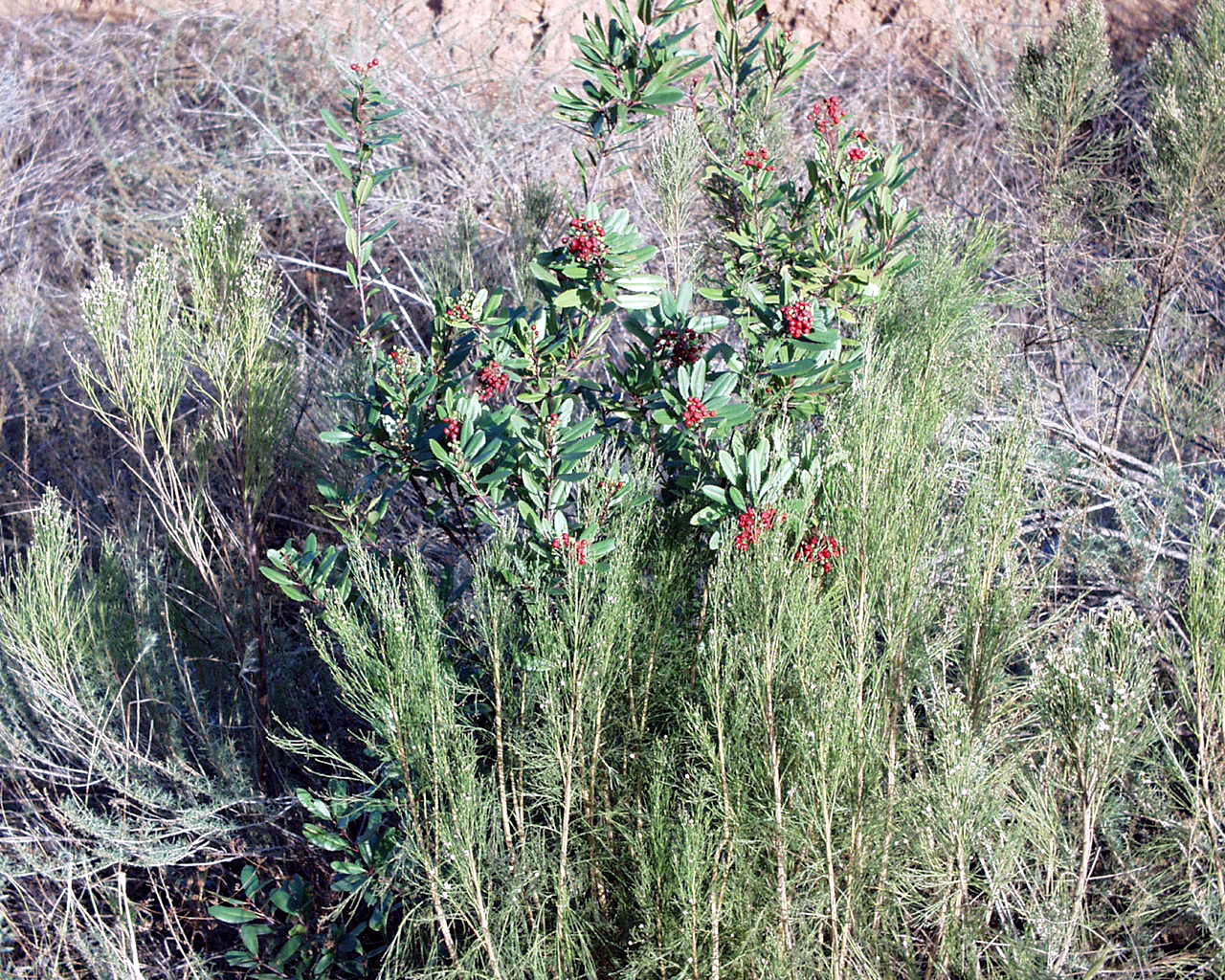
a stone river, and bottom right, one
of the few plants in winter that still has a trace of color with the red
berries.
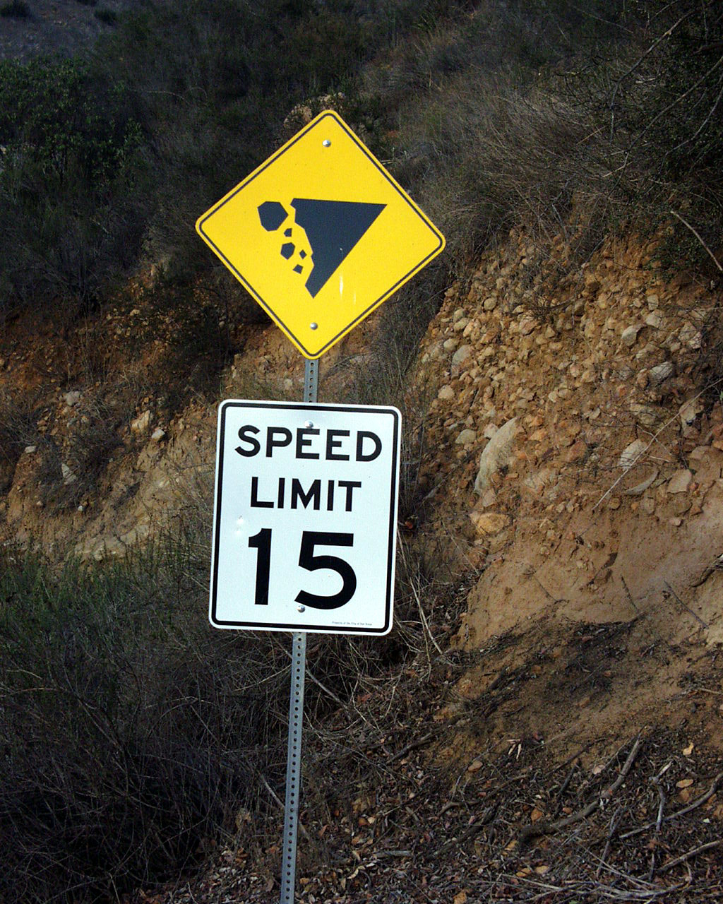
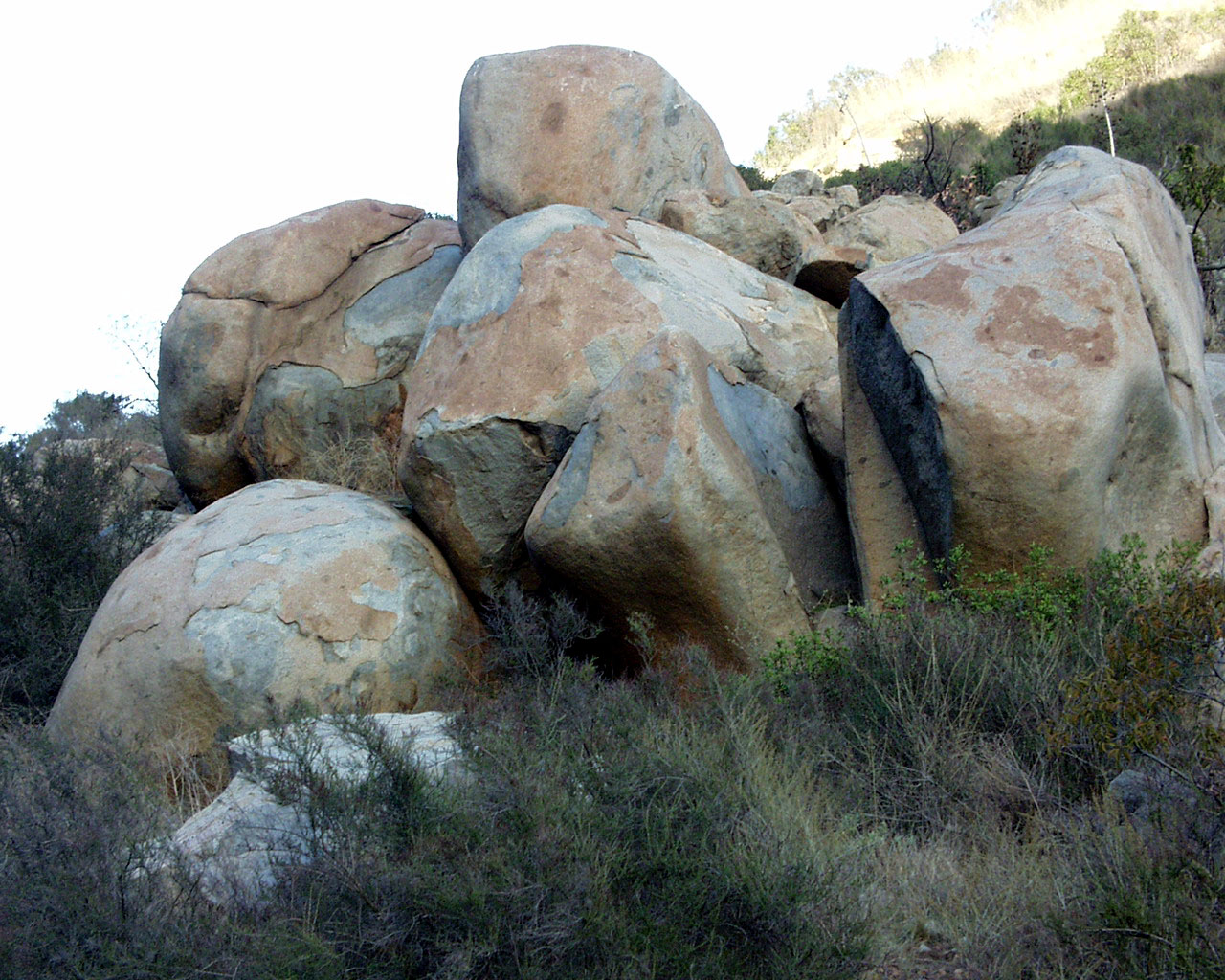
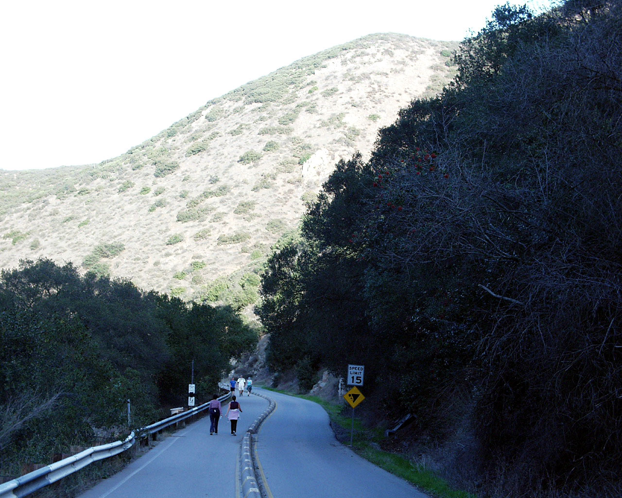

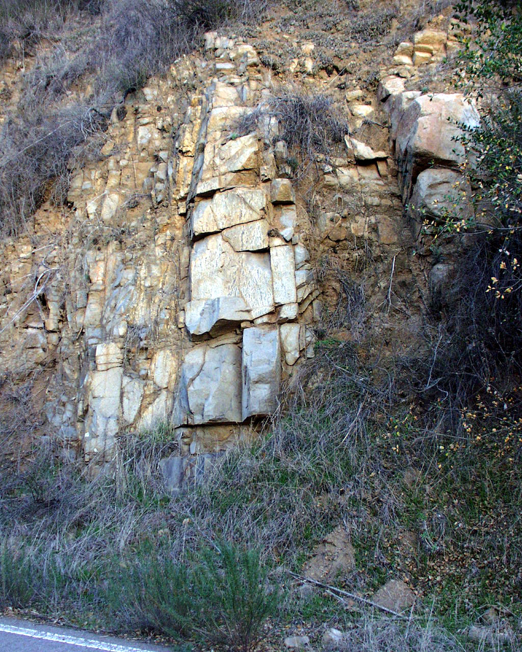
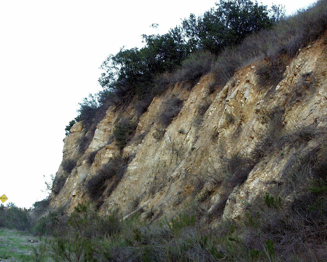
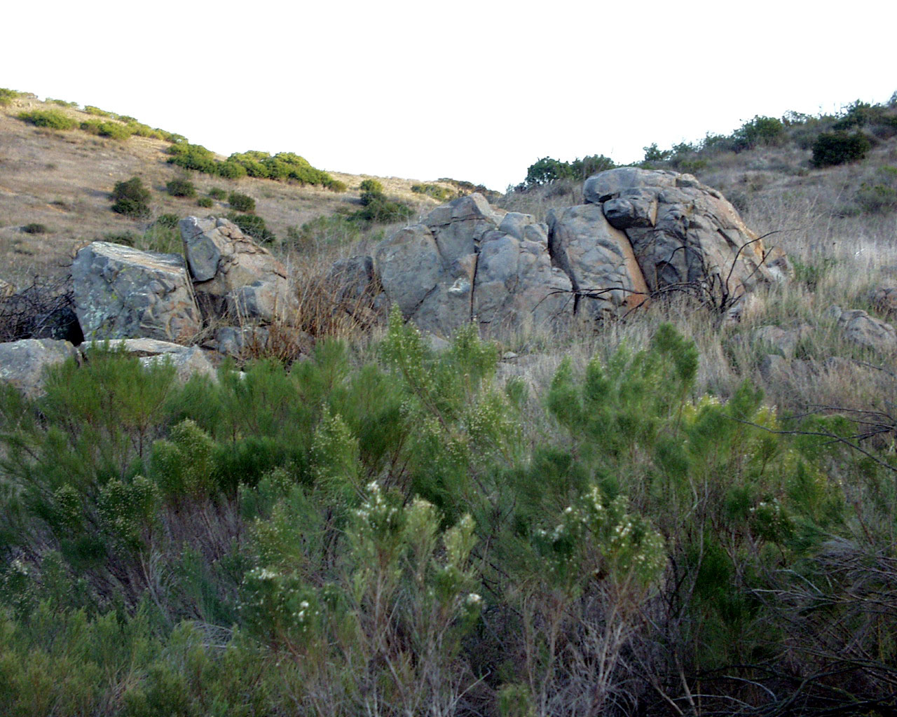
Upper Left—Wouldn't it be nice if the speed limit applied
to the rocks that might fall from the mountain,
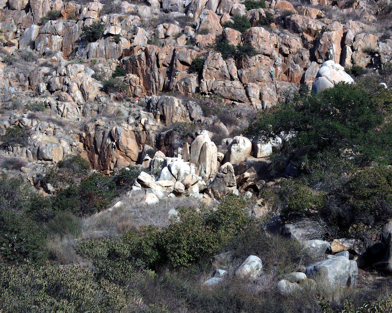
like for example these big boulders, shown in upper left photo. (I call this
configuration 'Before the Big
Bang' as it looks like a group of worlds all clustered together. Bare
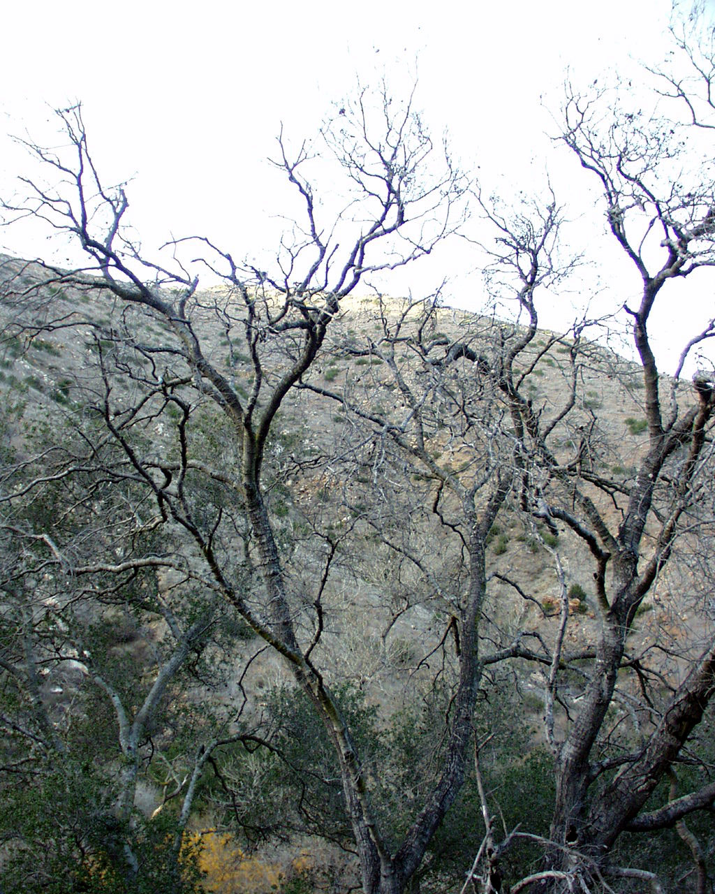
branches, such as those in left
middle row are typical views that walkers on the Junipero Serra Trail
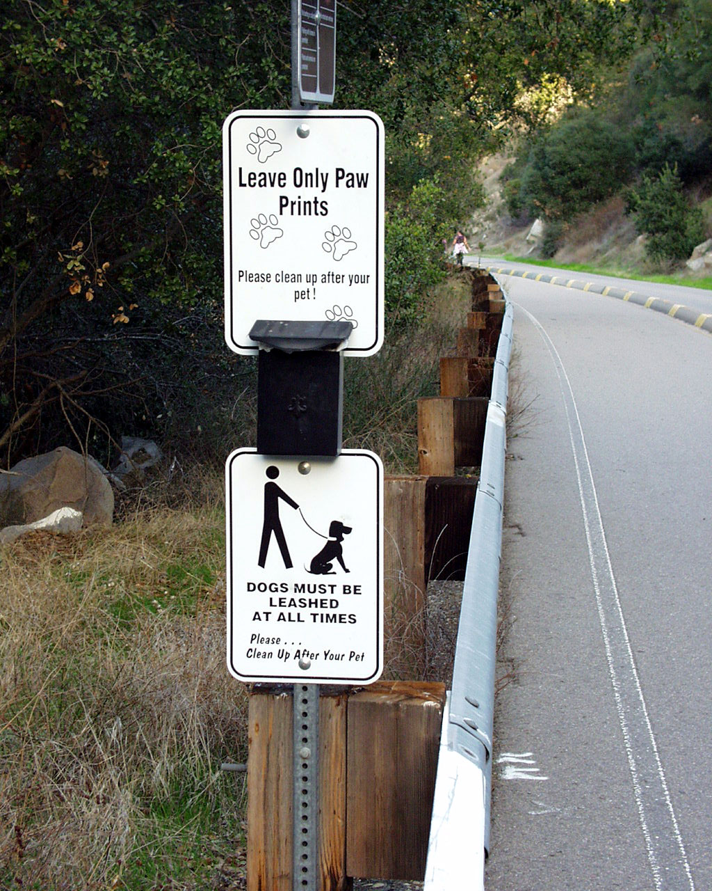
see. Those who bring their dogs
are expected to take a glove from the black box and pick up any dog poop and
carry it to a trash receptacle.
Imagine meeting someone on the trail while you're carrying it, and that person
sticking out his hand and
saying, "Hi, nice to see you." Bottom right is another nearly
bare tree; its last leaves ready to blow away.
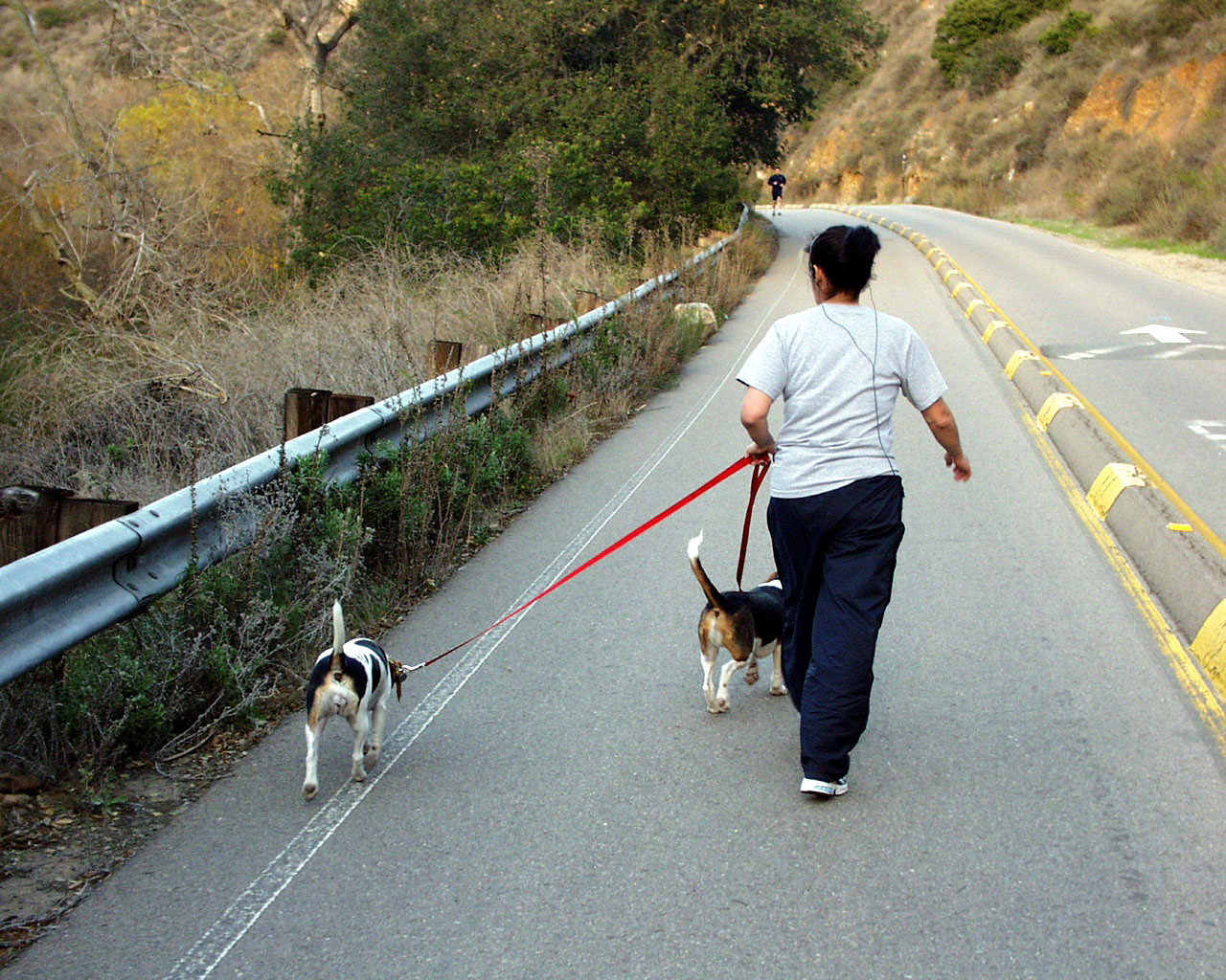

Until reading the regulations about dogs, I had no idea that the job of a
dogwalker, such as the lady walking
ahead of me, was so complicated. In photo at top left, there is a
glimpse of the brook that we call the San
Diego River. In middle row, if you look carefully you can see a monkey's
face in photo at left; whereas
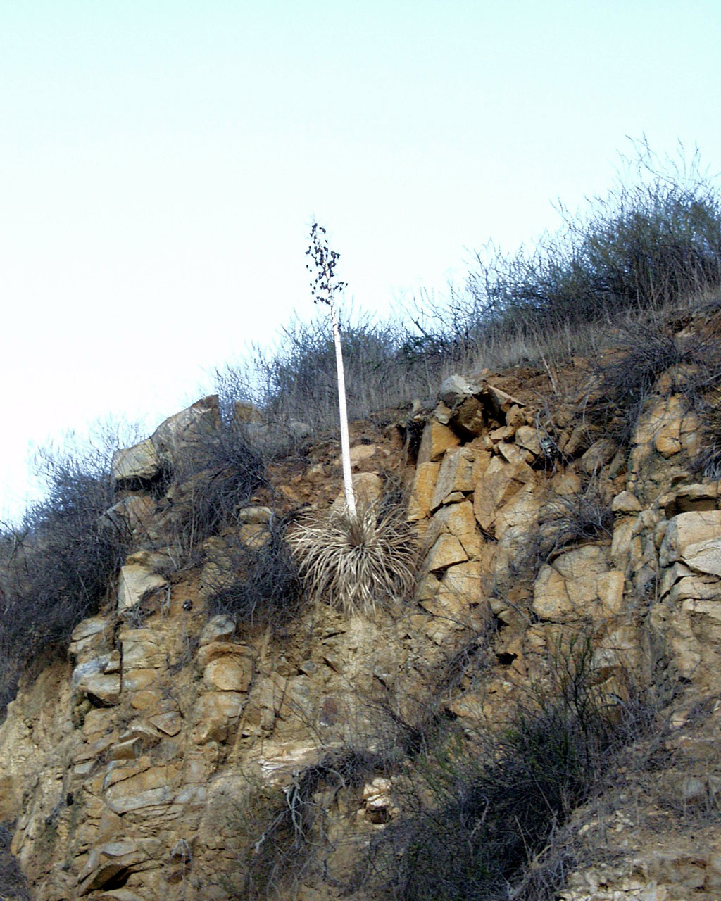
formation at right appears to be a totem pole in waiting. In bottom row,
we have Nature showing the beauty
of integration, a black tree juxtaposed against a white one. And we also
get a lesson in persistence, or in
defying the odds, with picture at right of a century plant's tenuous rooting
among the rocks.
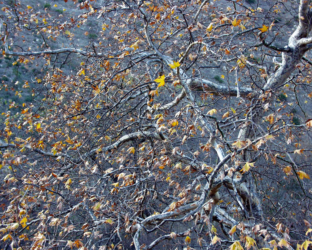

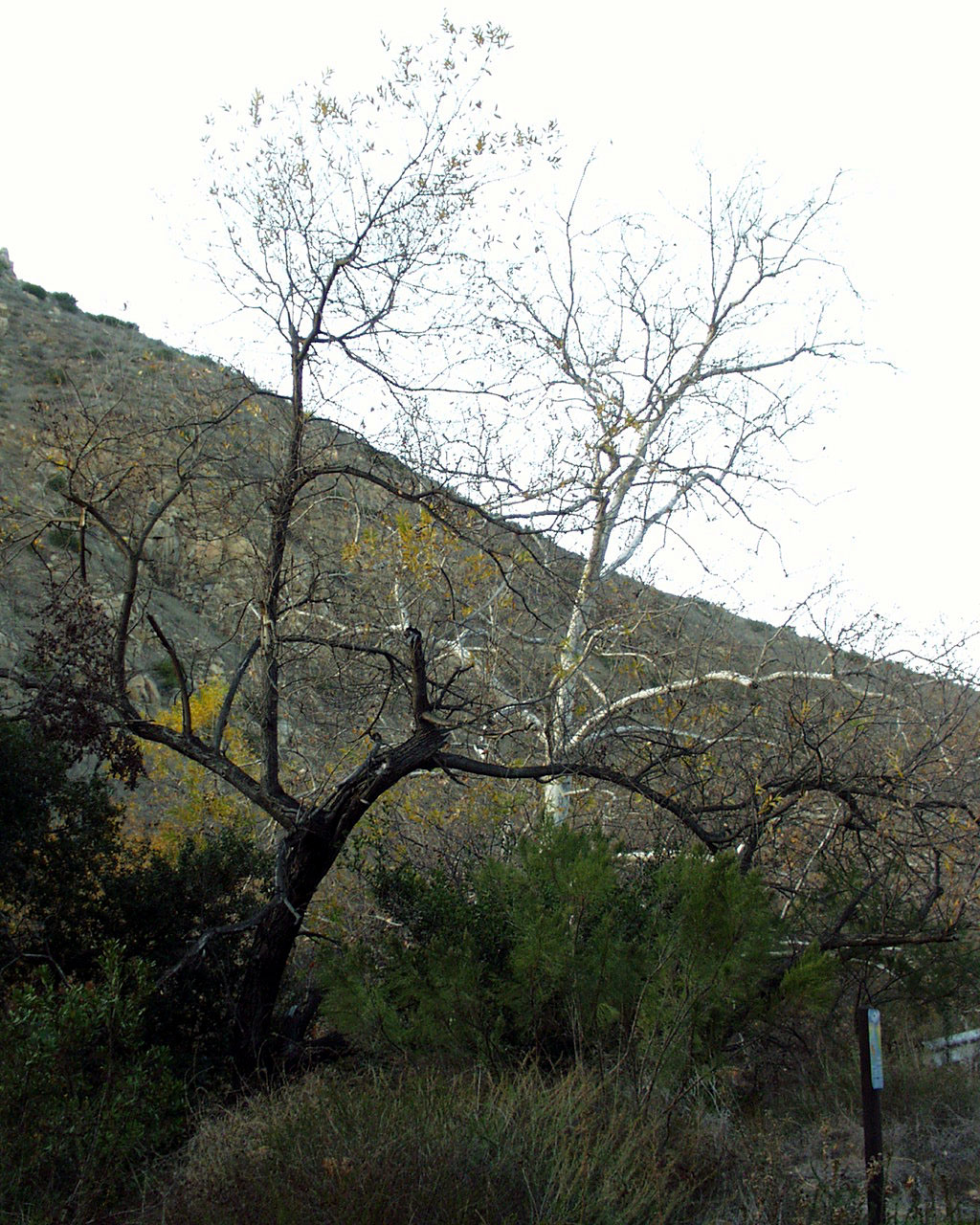
Top Row--Some bright, though fleeting fall foliage, and an example of
how even trees can be toppled by
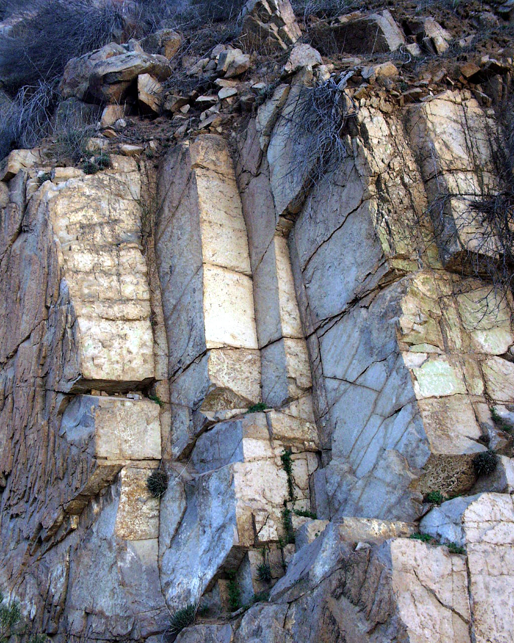
erosion. Middle row: A granite formation, seemingly perfect for carving
into tablets, and a spray of
berries by the San Diego River. Bottom: One of San Diego's best known
venues: the old Mission Dam,
a state historic landmark. Behind the falls, water once was diverted
into a sluice and carried to Mission
San Diego de Alcala, located several miles downstream.
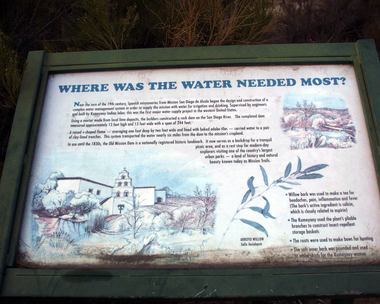
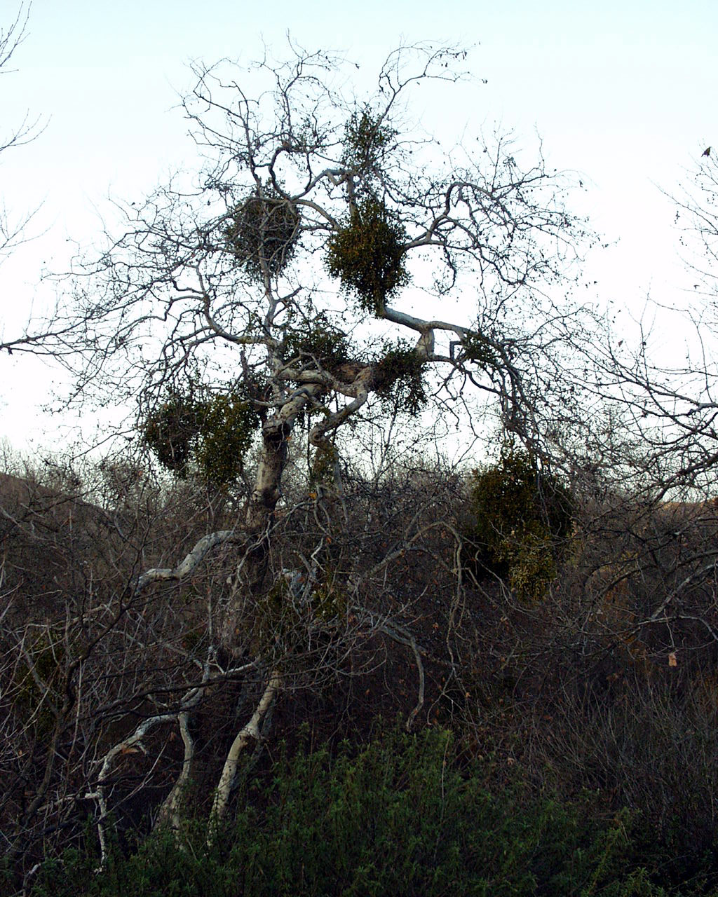
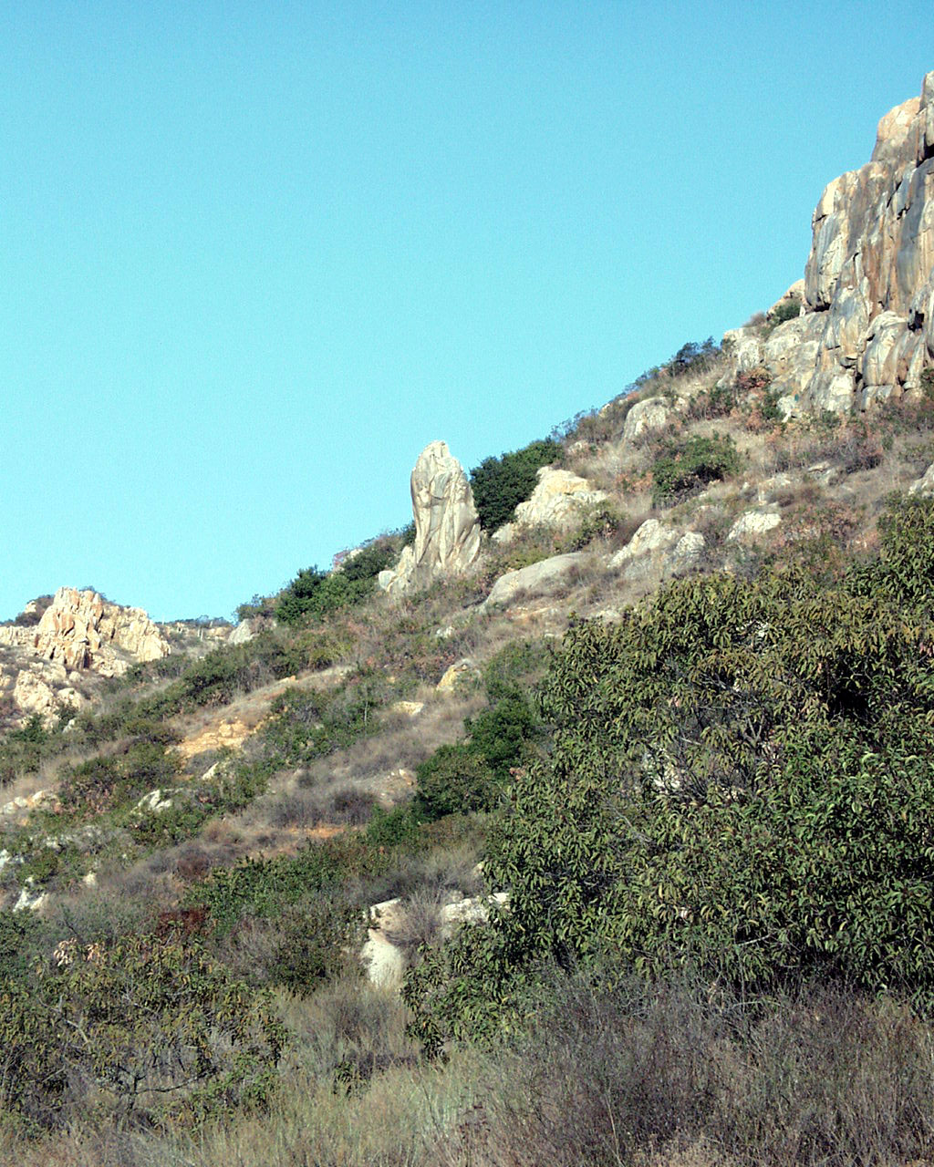
Top left tells story of how the dam served the mission; if
you use your imagination the rock formation at
top right looks like a lion crouching in the grass, with its head looking to
the right. The clusters amid
the branches on the tree at middle left are what romantically are known as
mistletoe, and what scientifically
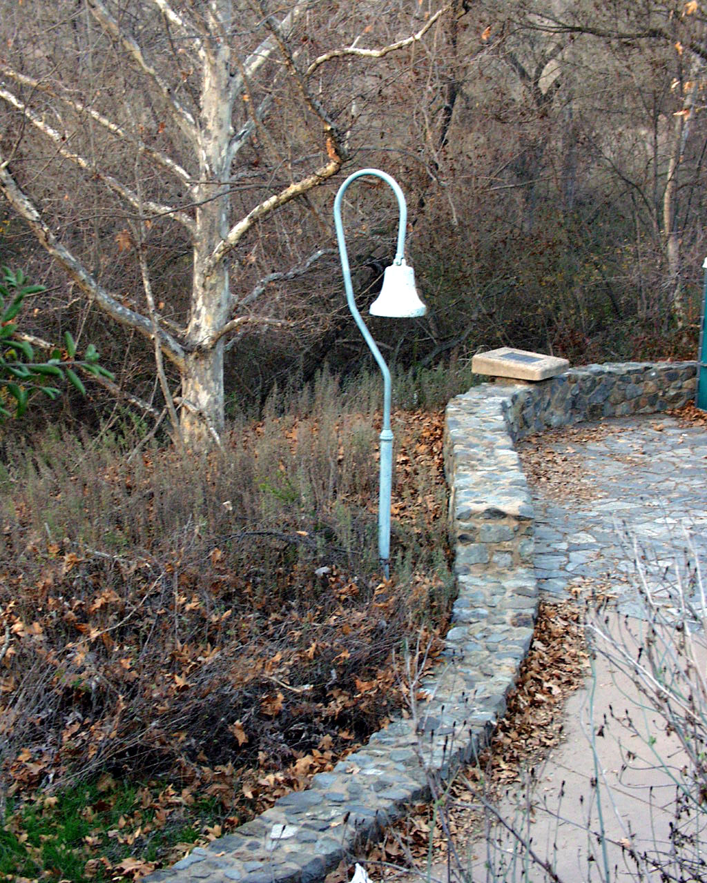
is known as a parasite. Bell at middle right indicates this is a stop
along El Camino Real, The Royal Road.
Such bells can be seen up and down the California coastline. Marker
carries the double mountain logo
of Mission Trails Regional Park as well as information identifying this as the
dam site. To the right are
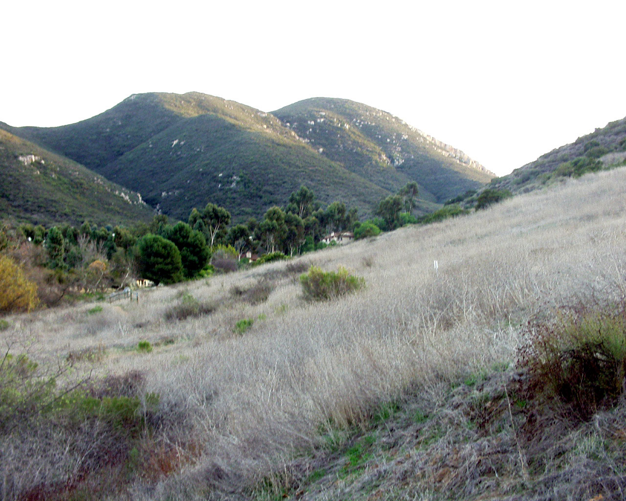
slopes and mountains--perhaps portions of the park to be explored later.